
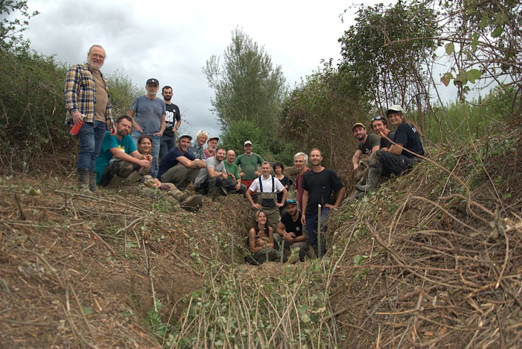

170 species recorded during the first BioBlitz in the Lèze catchment area
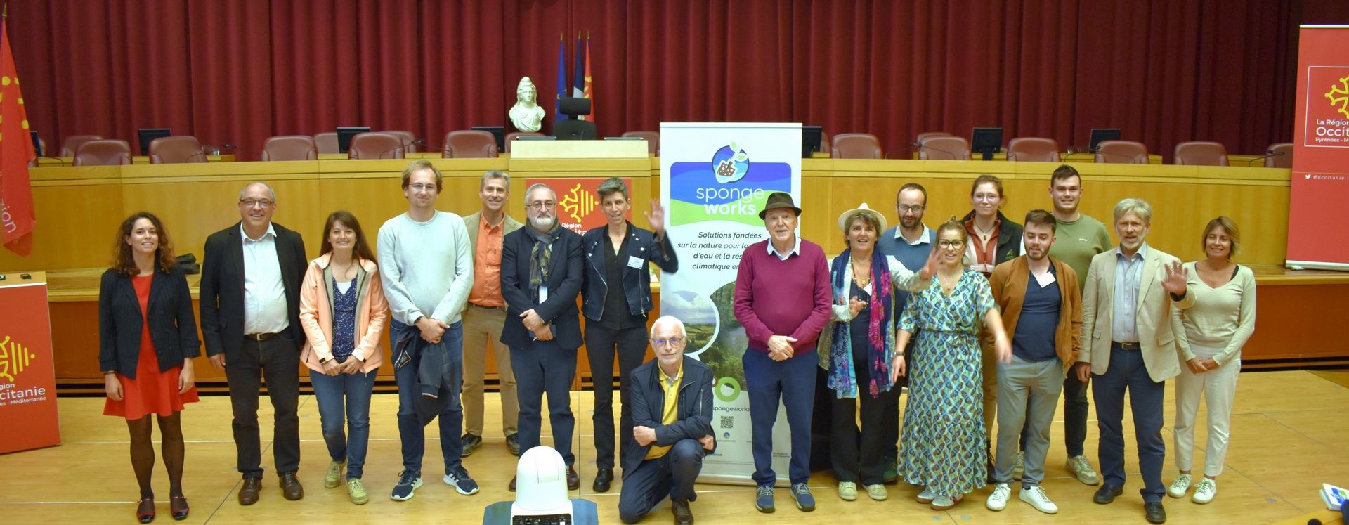
Volunteers, naturalists and partners came together for the first BioBlitz in the Lèze catchment area.


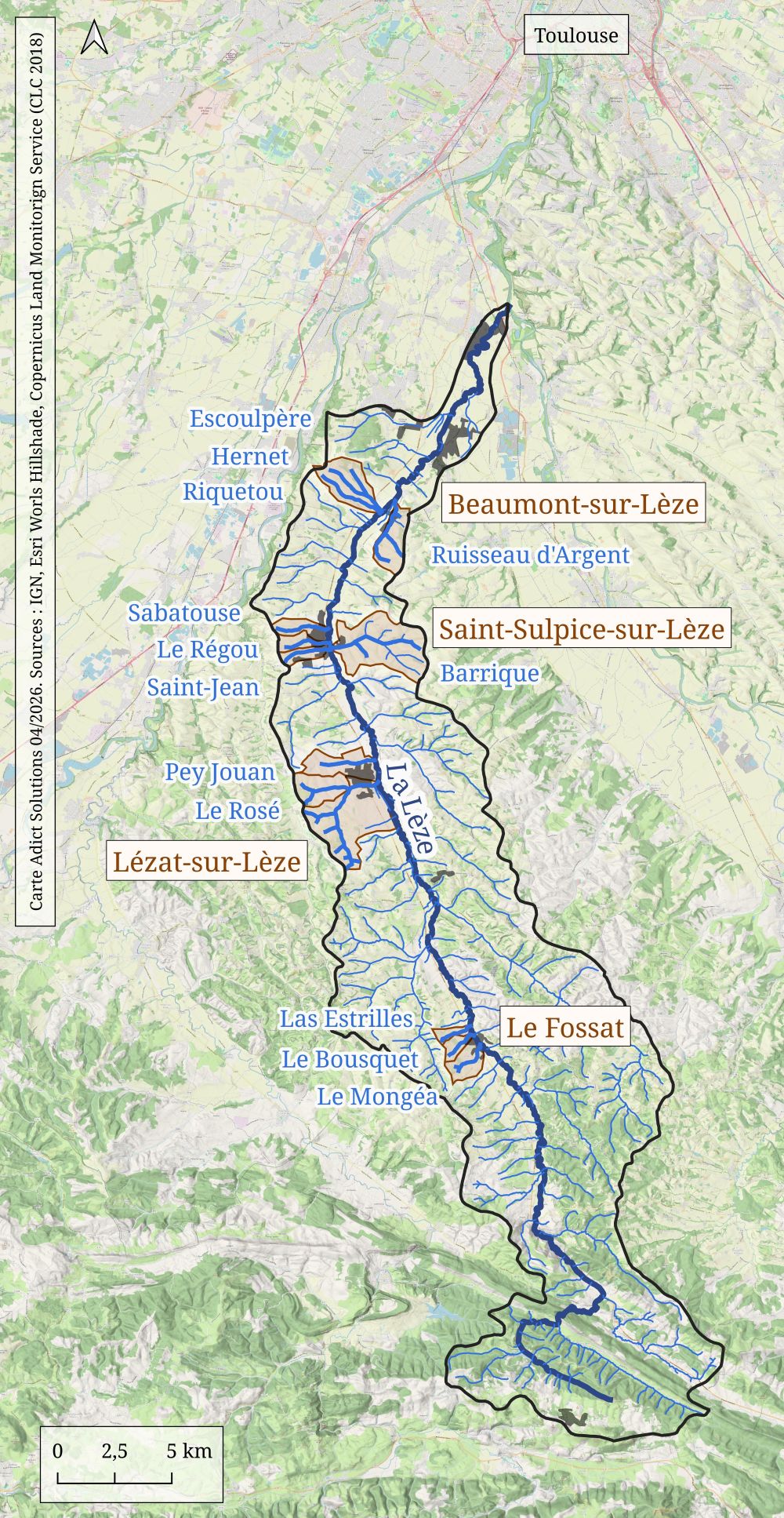
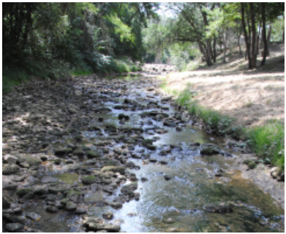
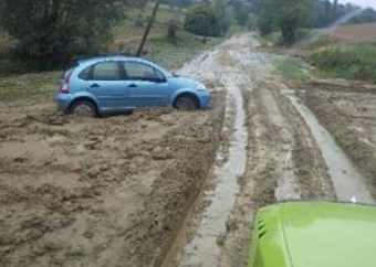
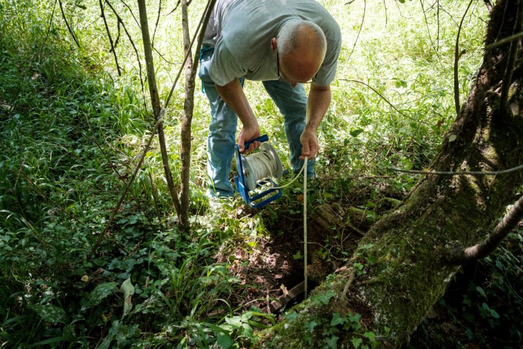
Turning the Lèze Valley into a Natural Sponge
Riparian forest restoration, community tree planting and the creation of swales are transforming the Lèze Valley into a more resilient…